v5.0 [Feb 3, 2014] - Fixed a bug where coordinates from imported MS50 data were incorrect.
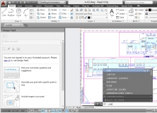
You can retrieve property data while reviewing AutoCAD Plant 3D models.
Web-enabled panoramic point cloud viewer.
Powerful desktop survey and design program.
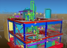
High performance CAD, Surveying and Point Cloud system.
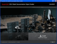
The object enabler permits only displaying of drawing views.